Susolmos Beach
locally Praia de Susolmos
A 500-metre strand on the inner Ría de Arousa — one of fourteen small beaches along the five-kilometre shoreline of Taragoña parish. Granite-coast sand, microtidal bathing, unserviced. On the Senda Litoral coastal path.
Typical conditions · Jul
Monthly climatology, not a live forecast — Jul normals shown as a proxy.
A year here
Monthly normals from WorldClim v2.1. Water-temp curve is a typical Ría-de-Arousa monthly profile from the CMEMS Iberian coastal product and is not yet pinned to this grid cell — placeholder pending the monthly pipeline.
Sea & surf
Solid = typical monthly wave height; pale = the bigger days. Offshore/regional swell — a sheltered cove may sit calmer.
Where it is
The shape of it
Diagram projected from OpenStreetMap geometry (way/247097576). Not to be used for navigation.
Context · what's around
Susolmos itself has not yet been photographed for Wikimedia Commons. These images are from within 900 metres along the Senda Litoral.

Praia da Torre — sister beach 500 m northeast along the Senda Litoral.
Jose Luis Cernadas Iglesias · CC BY 2.0

Castelo da Lúa — medieval castle ruins 740 m away, above Praia da Torre.
Dodro · CC BY-SA 4.0
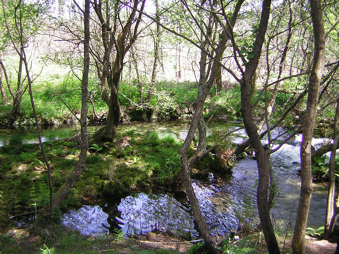
Pozo do Trabazo, a pool on the Río Té — the small river that drains Taragoña parish.
Ismael Alonso Tubío · Public domain

Praia do Porto — the parish's small-harbour beach, 870 m south.
Ismael Alonso Tubío · Public domain
Setting — Rías Baixas
The beach sits on the inner edge of the Ría de Arousa, the largest of Galicia's five Rías Baixas — drowned river valleys flooded by the Atlantic. The ría forms one of Spain's most sheltered deep-water anchorages and is the country's heartland of mussel farming; the wooden rafts moored offshore (bateas) are floating mussel nurseries. The bedrock is granite — the rock that makes most of Galicia — which is why every beach around here has the same pale, quartz-and-feldspar-rich sand.
Beaches like this one
Computed from coastal type, sand composition, tidal regime, beach size, and climate zone. Not the closest geographically — the closest typologically. Prototype — similarity pipeline pending; these five are a hand-picked illustration of how the shape of this section will work.
Around here · walking distance
- 170 mEPraia da Salgueiriñabeach
Adjacent cove sharing the same headland.
- 500 mNEPraia da Torrebeach
The parish's main beach — larger, with a promenade, the start of the Senda Litoral coastal path.
- 740 mNECastelo da Lúalandmark
Ruins of a medieval castle overlooking Praia da Torre, open to visitors.
- 760 mNECastro do Castriñolandmark
Iron Age hillfort in Taragoña, now partly built over but with visible earthworks.
- 870 mSPraia do Portobeach
A pocket beach at the parish's small harbour.
- 870 mNRío Tériver
The small river that drains Taragoña parish, meeting the Atlantic just north of here.
- 1.9 kmNRianxotown
Port town of ~10,000 on Spain's Atlantic northwest coast. Birthplace of the Galician writer Castelao.
What we don't know
Not listed on MITECO's playas.miteco.gob.es national guide or on Turismo de Galicia. Only documented on the Galician Wikipedia's parish page as one of Taragoña's small beaches.
If you know this beach — if you've walked here, swum here, had a beer on the promenade at Praia da Torre on the way back — we would like to hear from you. Specifically:
- A photograph of the beach itself
- Whether there's parking nearby or it's walk-only
- The feel of the sand — fine or gravelly
- Whether the stream crossing is passable year-round
- Who actually swims here (locals, visitors, nobody)
- Any local name that isn't Susolmos Beach
Other beaches on this shoreline
Where this page comes from
| Geometry | verified OpenStreetMap way/247097576. Coordinates, shoreline length, and the outline in the diagram above. |
| Climate | computed WorldClim v2.1 monthly normals (2.5-minute grid). Local micro-climate may differ — the beach is a pin on a grid cell, not a weather station. |
| Tides | computed EOT20 global ocean tide model (DGFI-TUM). Spring and neap ranges are typical; actual conditions vary. |
| Sand composition | predicted GloPrSM v1.0.0 model prediction from regional bedrock, climate and coastal-process inputs. Not sampled in situ. |
| Nearest city / airport | verified GeoNames and OurAirports. Distances computed great-circle from the beach centroid. |
| Storm history | verified IBTrACS v04r01 (NOAA) — tropical cyclone tracks passing within 100 km since 1980. |
| Typological siblings | predicted Pipeline pending. Final similarity is cosine on a seven-dimension vector (coastal type, sand, tidal regime, size, climate zone, wave exposure, facing). The five shown are hand-curated placeholders. |
| Photos | verified Wikimedia Commons, within ~900 m of the beach. Credits and licences shown beneath each photo. |