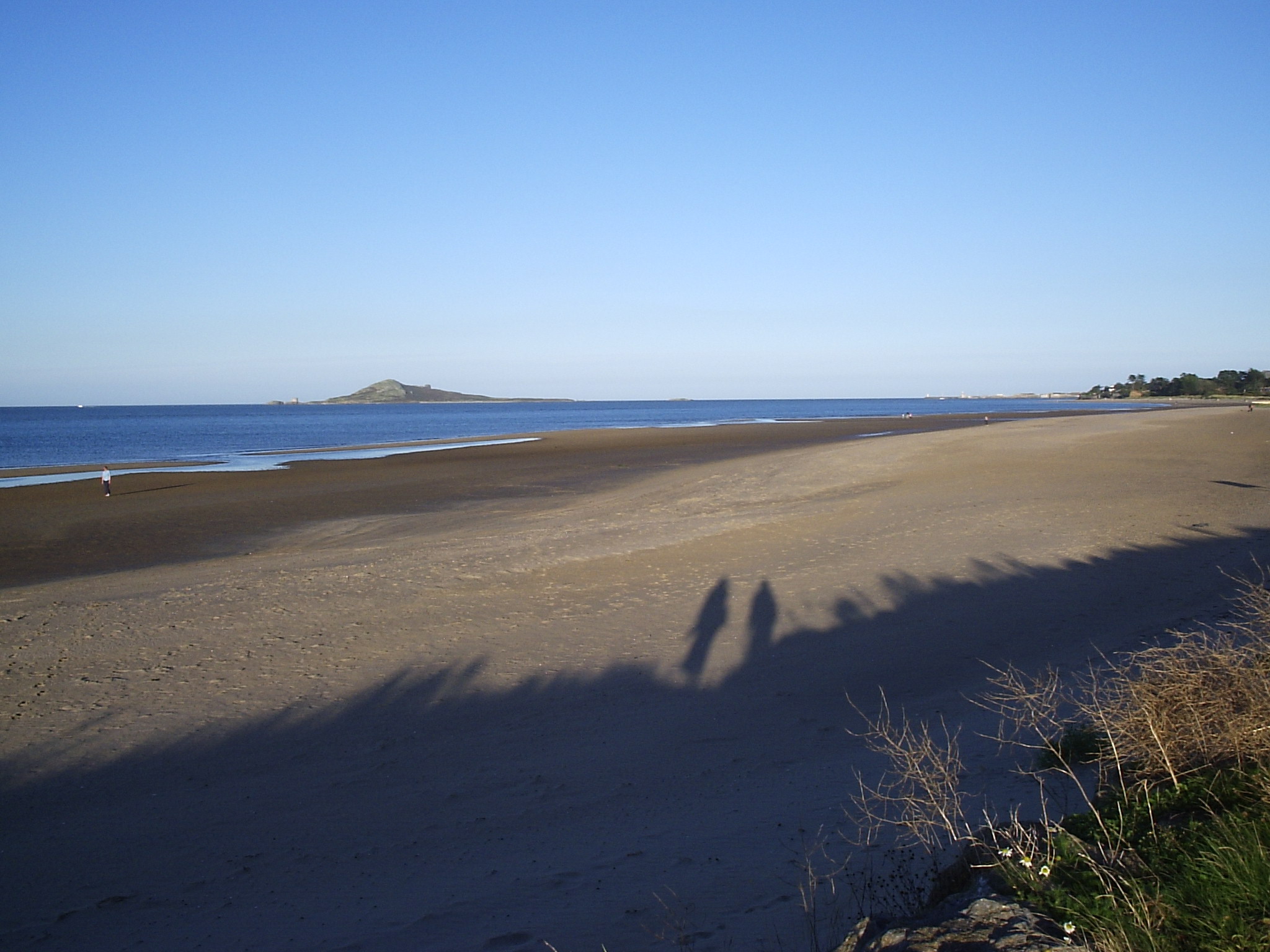
Burrow Beach is not shaped like most beaches on this site. It has no cliff, no reef, no famous wave. What it has is a landform: it runs along the north face of a tombolo, the sand-and-gravel isthmus that turned Howth Head from an island into a peninsula and gave Dublin's northern suburbs their shape. The beach is not a feature added to the coastline. It is the coastline's own mechanism, still visible, still doing roughly the job it has done since the last glacial retreat.
What a tombolo actually is. A tombolo forms when an island sits close enough to a mainland, or to another landmass, that incoming waves are forced to bend around it — a process called wave refraction. Waves traveling on either side of the island slow down and curve inward as they hit shallower water near its edges. Where the two bent wave-fronts meet on the sheltered side, their energy cancels rather than compounds, and sediment carried in suspension drops out. Over centuries that dropped sediment accumulates into a spit, and if conditions hold long enough, the spit reaches all the way across to the mainland. At that point the former island stops being an island. Howth Head is the island in this story. The tombolo that now ties it to Sutton is the sand-and-gravel body Burrow Beach sits on top of.
How this one is documented. The general mechanism is textbook coastal geomorphology, but this particular tombolo has its own academic record. A paper titled "A Quaternary Succession at Sutton, Co. Dublin" is indexed on JSTOR and describes the sand-and-gravel sediment sequence that makes up the landform — evidence, in the ground, of how and over what span the connection built up. Wikipedia's own entry on tombolos treats Howth-Sutton as one specimen in a global catalogue of roughly 80 documented examples, listed alongside better-known cases such as Chesil Beach in Dorset, England, and the tidal causeway at Mont-Saint-Michel in Normandy, France. Burrow Beach, in other words, belongs to a recognized geomorphological category with comparisons on other continents, not just a local curiosity.
What sits on the sand today. A landform stable enough to carry a railway is stable enough to build a town on, and that is what happened at Sutton. A station opened on the tombolo on 30 July 1846, originally named Baldoyle & Sutton after the two places it linked, and renamed simply Sutton in 1901; it now carries Dublin's DART commuter line directly across the isthmus, a few hundred meters from the beach. Sutton Golf Club laid a nine-hole links course over part of the tombolo at Cush Point in 1890, a course later associated with the amateur golfer J.B. Carr and voted Ireland's best nine-hole course by one guidebook in 2020. The Marine Hotel went up at Sutton Cross in 1897, initially under a different name, and took the name Marine in 1913. None of these are beach amenities in the resort sense. They are what got built on a sandbar once it proved permanent enough to trust.
The honest complication. A tombolo is permanent only in the sense that it has held for a long time; it is not permanent in the way granite is. The landform is still, geologically, an accumulation of loose sand and gravel sitting a few meters above sea level between two bodies of water, Dublin Bay to the south and the sea off Baldoyle and Portmarnock to the north. It is exactly the kind of coastal feature that floodplain and coastal-erosion mapping in Ireland tracks with concern, even where no acute event has struck it recently. The dataset behind this page records zero tropical cyclones tracked near this coast in the last fifty years, which is real and worth stating, but it says nothing about winter Atlantic storm surge, sea-level rise, or ordinary longshore erosion, the everyday processes that built the tombolo and could, over a much longer timescale than a human visit, unbuild parts of it. Fingal County Council's own bathing-water monitoring has not held steady here: the water rated "Excellent" in 2020 and 2021, slipped to "Good" for three straight years, 2022 through 2024, and was reclassified "Excellent" again for 2025, based on samples taken across 2022-2025, according to alerts.fingal.ie. That swing is a reminder that the same accumulation processes that deposited the sand also carry whatever runs off the golf course, the railway cutting, and the estuary next door, and that a tidal, estuary-adjacent stretch of coast does not hold a single water-quality grade forever the way a headline number might suggest. The rating moved twice in five years without any single documented pollution event driving it; that is closer to how a working landform behaves than a permanent verdict would be.
Why this is the fact that matters here. Most beaches earn a page because of what happens on them: a wave, a hotel, a controversy, a festival. Burrow Beach earns one because of what it is standing on. The sand under a Tuesday-afternoon dog walk on this beach is the same sand that stopped Howth Head from being an island, deposited by a process with a name, described in an academic paper, and catalogued next to tombolos on three other continents. That is a genuinely unusual thing for an ordinary suburban strand to be able to say, and it is true whether or not anyone walking the beach that day knows it.